Fuyang
富阳
Hangzhou's south-western district, strung along the 富春江 and famous as the landscape behind the fourteenth-century scroll Dwelling in the Fuchun Mountains. Its headline walk is Longmen Ancient Town, a flat half-day through the largest settlement of Sun Quan's descendants; its harder day is the 龙门山 forest trail up to 杏梅尖, the highest point in the district.
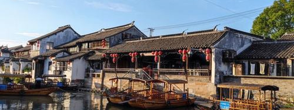
Fuyang (富阳区) is the district that Hangzhou looks south-west toward, strung along the 富春江 where the river narrows between hills and the water is the reason the place is famous: it is the landscape behind 富春山居图, the fourteenth-century scroll that made this valley the canonical image of Chinese reclusion. Outdoor Fuyang divides into two very different days. The first is heritage and flat: 龙门古镇 in 龙门镇, the largest surviving settlement of Sun Quan's descendants, where more than 90% of villagers still carry the surname and the Ming-Qing building cluster is held together by a single clan's plan — a cobbled main street, seventy-odd lanes, forty-plus halls, three brick arches, a stream threaded through the middle. It is an easy half day and currently the district's published walk on this site. The second day is vertical: the 龙门山森林古道 leaves the same town via 瑶坞, passes a fall described as the largest in the Hangzhou region at more than 100 m, and climbs to 杏梅尖 at 1067.6 m, the highest point in Fuyang, for roughly seven hours return on unpaved ground. Between them sit the river towns, the bamboo country and a metro line, which is what makes the district unusually reachable for what it is.