🏼 Hangzhou Hiking Guide
  • Home
  • Trails
  • Areas
  • Guides
  • About
🏼 Hangzhou Hiking Guide
  • Home
  • Trails
  • Areas
  • Guides
  • About
Home/Trails

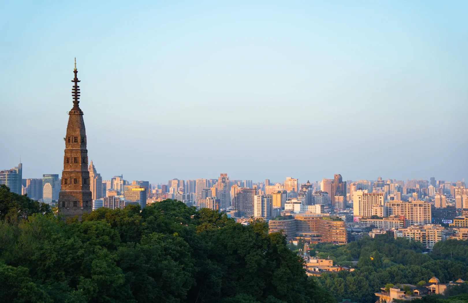
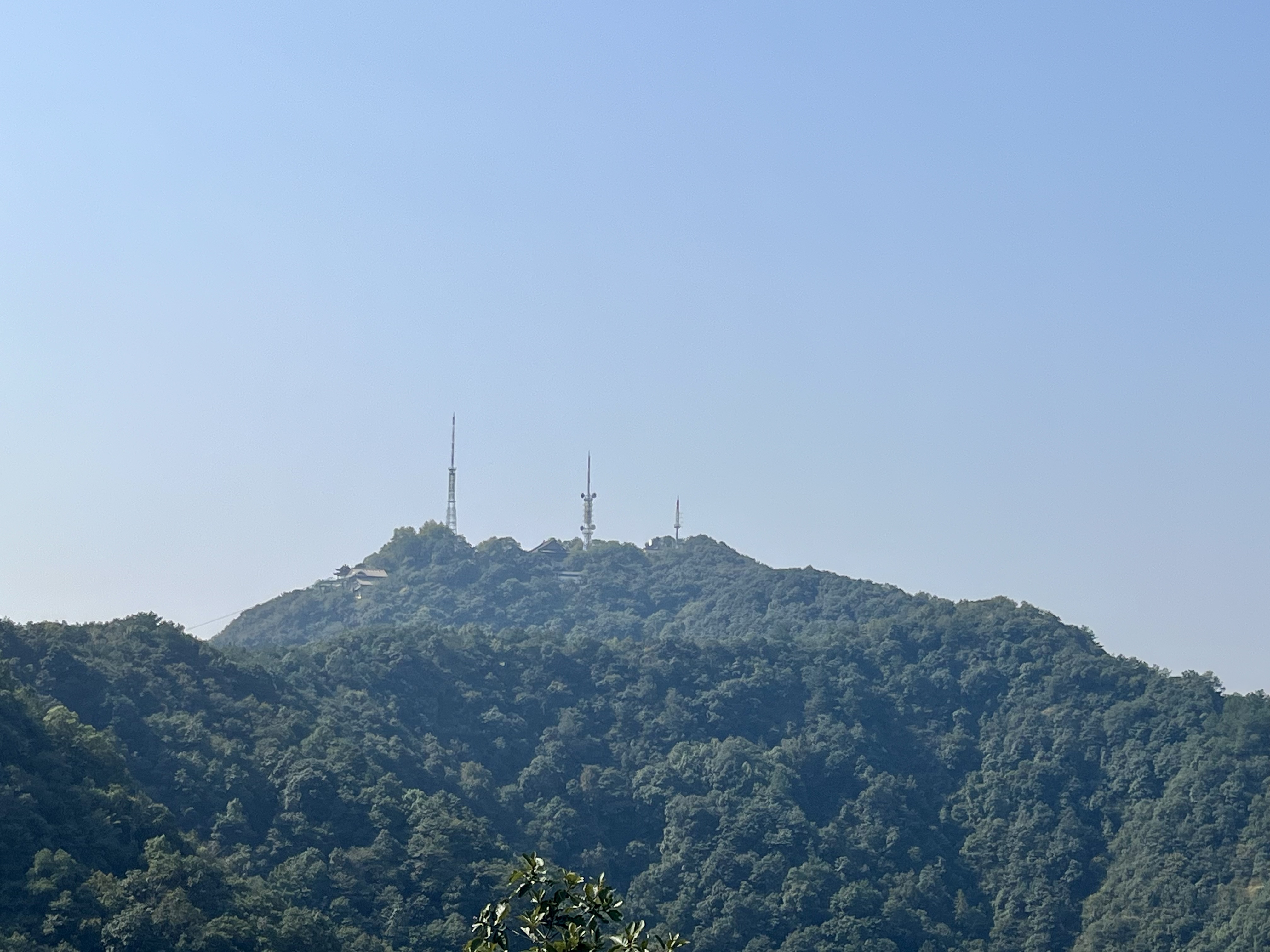
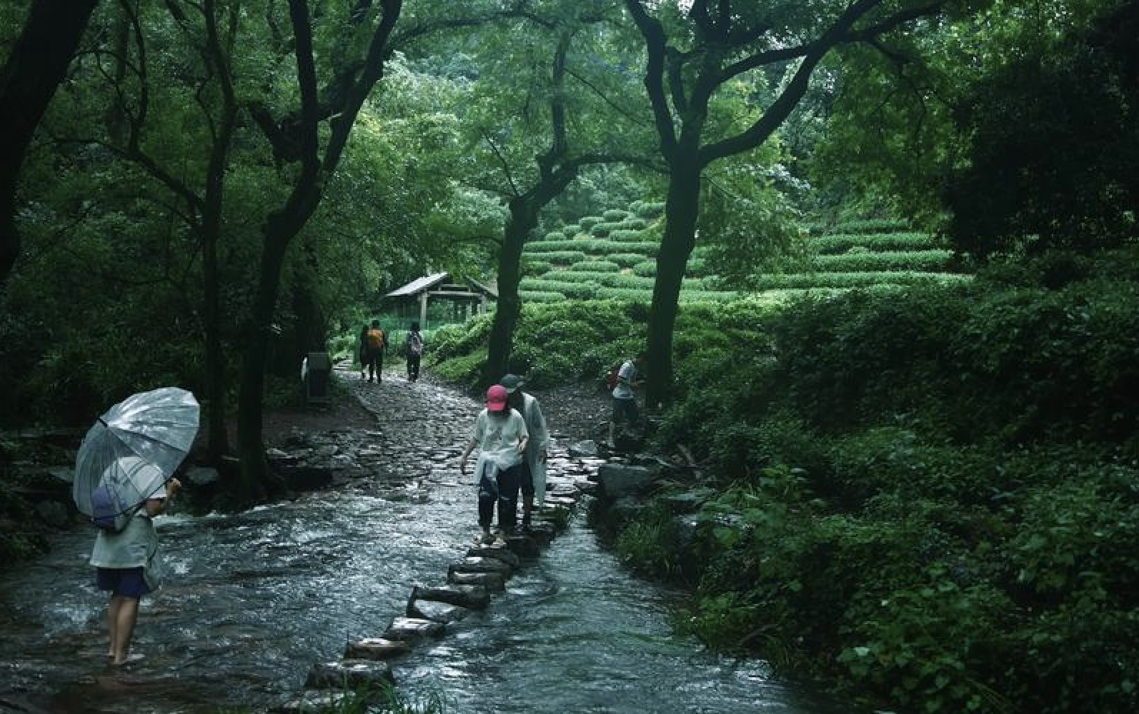
Hangzhou Hiking Trails

English hiking guides for Hangzhou's best trails. Each route includes distance & duration, difficulty ratings, public transport tips, and Chinese place names to show taxi drivers and navigate local signs.

Find a Trail

Filter routes by difficulty, duration, transport, scenery, audience, and area.

28 trails found
Difficulty
All Easy Moderate Challenging
Duration
All Short (<1.5 h) Half-day (1.5โ€“3 h) Full-day (3+ h)
Transport
All Public transport Metro Bus Taxi-friendly
Scenery
All Tea fields Forest West Lake views Viewpoints Streams
Audience
All ๐ŸŒŸ First-time ๐Ÿ‘ช Families ๐Ÿ“ท Photographers ๐Ÿต Tea lovers ๐Ÿฅพ Solo hikers ๐Ÿ‘ฅ Groups
Area
All West Lake Longjing Lingyin Longwu
Clear all filters
View of West Lake from Baoshi Mountain in Hangzhou

Baoshi Mountain West Lake View Walk

A short city-side hill walk with classic views over West Lake and Baochu Pagoda. Quick, easy, and well-connected by public transport.

~2 km (one way from the base to summit) 1โ€“2 hours Easy
Start: Baoshu Pagoda / Beishan Road End: Baoshi Mountain summit
Metro + short walk / bus / taxi
West Lake viewsShort walkEasySunsetPublic transport
View from Longmen Mountain looking west along the Dragon Ridge toward the Tianzhu valley

Faxi Temple to North Peak via Dragon Ridge

A ~8-10 km point-to-point from Faxi Temple up through the Tianzhu valley forest to Shiren Pavilion, then along the Dragon Ridge past Longmen Mountain and Meiren Peak to North Peak. Combines a temple visit with the ridge's finest viewpoints.

~8-10 km (point-to-point) 4-5 hours Moderate
Start: Faxi Temple (Shang Tianzhu) End: Fahua Temple
Metro + bus / taxi
Ridge walkTemplesViewpointForest trailPoint-to-pointHalf-daySpringAutumn
Guangming Temple Reservoir with tea terraces surrounding the water

Guangming Temple Reservoir Short Loop

A flat 2 km loop around Guangming Temple Reservoir with optional climb to Guangming Summit. Perfect for pushchairs, toddlers, and casual outings.

~2 km 30โ€“45 minutes (plus 15 min for summit option) Easy
Start: Cycling Park Parking End: Cycling Park Parking
Metro + bus / taxi / car
FamilyEasy walkReservoirTea fieldsPushchair friendlyShort walkPhotography
View from the Shili Langdang ridge near Fanyin Pavilion looking over tea terraces toward West Lake

Faxi Temple to Meijiawu via Shili Langdang

A ~4-6 km tea-ridge walk from Faxi Temple up to Fanyin Pavilion and the Shili Langdang tea ridge, descending to Meijiawu or Longjing Village. Combines a temple visit with open tea-field ridge views.

~4 km (to Longjing); ~5-6 km (to Meijiawu) 2-3 hours (to Longjing); 2.5-3.5 hours (to Meijiawu) Easy
Start: Faxi Temple (Shang Tianzhu) End: Meijiawu Village (or Longjing Village)
Bus / metro + bus / taxi
Tea fieldsTemplesViewpointBeginner-friendlyPoint-to-pointShort walkSpringAutumn
Tea fields near Red Gate with Guangming Temple Reservoir in the distance

Guangming Temple Reservoir Medium Loop

A 3.5 km gentle loop through tea fields to Red Gate and Guangming Pavilion. Less climb than the full ridge loop, more views than the flat short loop.

~3.5 km 1.5โ€“2 hours Easy
Start: Cycling Park Parking End: Cycling Park Parking
Metro + bus / taxi / car
FamilyTea fieldsGentle climbEasy walkPhotographySpring
Guangming Temple Reservoir surrounded by tea fields and forest

Guangming Temple Reservoir Loop

A 5 km forest ridge loop through Longwu tea country with a reservoir finale. Moderate climb, panoramic views.

~5 km ~3 hours Moderate
Start: Cycling Park Parking End: Cycling Park Parking
Metro + bus / taxi / car
Tea fieldsReservoirForest ridgeModerate climbSpring
View from the Shili Langdang ridge near Sanfena looking south toward Wuyun Mountain and the Yunqi valley

Jiuxi to Yunqi via Longjing & Shili Langdang

A ~10-12 km traverse from Jiuxi through Nine Creeks, Longjing Village, and the Shili Langdang tea ridge to Zhenji Temple and Yunqi Bamboo Path. Stream valleys, tea terraces, a 1,400-year-old ginkgo, and a bamboo forest โ€” four landscapes in one walk.

~10-12 km (point-to-point) 4-5 hours (steady); 5-6 hours (with photos and breaks) Moderate
Start: Jiuxi Bus Stop End: Yunqi Bamboo Path
Metro + bus / taxi / car
Long distanceStreamsTea fieldsForest trailTemplesRidge walkPoint-to-pointHalf-daySpringAutumn
Panoramic view of West Lake from the Majiawu viewing platform with the city skyline beyond

Laoheyunqi to North Peak via Majiawu

A ~7-9 km ridge walk from the Laoheyunqi archway to North Peak, following the spine of the West Lake Hills through forest and open ridge. The Majiawu viewing platform is the highlight โ€” a 270ยฐ panorama of West Lake, Xixi Wetland, and the city.

~7-9 km (point-to-point) 3-4 hours Easy
Start: Laoheyunqi Archway End: North Peak
Metro + walk / taxi
Ridge walkViewpointBeginner-friendlyForest trailPoint-to-pointHalf-daySpringAutumn
Tea terraces near Hejia Village in Longwu, with the Cycling Park in the distance

Hejia Village Cycling Park Loop

A 5 km family-friendly loop from Hejia Village Cycling Park through tea fields and ridge pavilions. Gentle climb, big views, easy pace.

~5 km 2โ€“3 hours Easy
Start: Hejia Village Cycling Park End: Hejia Village Cycling Park
Metro + bus / taxi / car
FamilyEasy walkTea fieldsCycling ParkReservoirSpringPhotography
View along the Dragon Ridge from Meiren Peak looking west toward Longmen Mountain and the Xixi valley

Laoheyunqi to Yangjiapailou Dragon Ridge Traverse

A ~10โ€“11.5 km point-to-point covering the full northern ridge of the West Lake Hills โ€” from Laoheyunqi along the north spine to North Peak, then west along the Dragon Ridge past Meiren Peak and Longmen Mountain to Shiren Pavilion, descending through Yongxing Temple to Yangjiapailou. The longest and most comprehensive ridge walk in the Lingyin network.

~10โ€“11.5 km (point-to-point) 3โ€“4 hours Moderate
Start: Laoheyunqi Archway End: Yangjiapailou
Metro + walk / taxi
Ridge walkLong distanceViewpointForest trailPoint-to-pointHalf-daySpringAutumn
Forest trail near Lingyin Temple in Hangzhou

Lingyin to North Peak

A temple-side forest climb to one of the best panoramic viewpoints over West Lake. Moderate effort, big reward.

~4 km (one way to summit) 1.5โ€“2.5 hours Moderate
Start: Lingyin Temple area End: North Peak
Metro + bus / taxi
ViewpointTemplesForest trailModerate climb
View from Shifeng Peak looking over terraced tea fields toward Longjing Village

Longjing Village to Sanfena via Shili Langdang

A ~3-5 km out-and-back from Longjing Village up the Shili Langdang stone steps past Shifeng Peak to the Sanfena ridge viewpoint. The shortest and most self-contained tea-field walk โ€” no transport logistics needed.

~3-5 km (out-and-back); ~5-7 km (one-way to Meijiawu) 1.5-2.5 hours (out-and-back); 2.5-3.5 hours (one-way to Meijiawu) Easy
Start: Longjing Village End: Longjing Village
Bus / taxi / car
Tea fieldsViewpointBeginner-friendlyOut-and-backShort walkSpringAutumn
Tea fields near Longjing Village in Hangzhou

Longjing to Nine Creeks

Tea fields, forest paths, and a shaded stream valley. One of the best first-time hikes in Hangzhou.

~5-6 km 2-3 hours (relaxed); 3-4 hours (with photos and paddling) Easy
Start: Longjing Village (Longjing Tea Room Bus Stop) End: Jiuxi Bus Stop
Bus / metro + bus / taxi
StreamsForest trailFamily-friendlyBeginner-friendlyPoint-to-pointSummerSpringAutumn
Baiyan Ridge with tea terraces and forested hills in Longwu

Longweiba Pond to Baiyan Ridge Loop

A 4.7 km moderate hill loop from Changdai Village up to Baiyan Ridge via Carp Kiss and Carp Leap pavilions. 456 m climb, open ridge views, quieter than the main Longwu trails.

~4.7 km 3โ€“4 hours Moderate
Start: Changdai Village End: Changdai Village
Metro + bus / taxi / car
Moderate climbBamboo forestRidge walkTea fieldsQuietPhotographySpring
Longweiba Pond surrounded by tea fields and forest in Longwu

Longweiba Pond Family Loop

A short family loop through tea fields, bamboo forest, and a peaceful reservoir pond. Gentle enough for children, scenic enough for adults.

~5 km 2โ€“4 hours Easy to Moderate
Start: West Hill Forest Park Gate End: West Hill Forest Park Gate
Metro + bus / taxi / car
FamilyTea fieldsReservoirBamboo forestSpringEasy walk
The Wencha Gudao stone path through tea terraces with the Guoxi Pavilion in the distance

Tea Museum to Longjing via Wencha Gudao & the Eight Sights

A ~3-6 km cultural walk from the China National Tea Museum along the Qianlong Emperor's historic path through the Longjing Eight Sights to Longjing Village. Tea history, imperial stone inscriptions, and the birthplace of Longjing tea.

~3-6 km (flexible, depending on endpoint within Longjing Village) 2-4 hours (with museum and sight visits) Easy
Start: China National Tea Museum (Shuangfeng Campus) End: Longjing Village
Bus / taxi
Culture & historyTea fieldsTemplesFamily-friendlyBeginner-friendlyShort walkSpringAutumn
View from the wild trail between Sanfena and North Peak looking back over the Shili Langdang tea ridge

Meijiawu to North Peak via Sanfena

A ~12-14 km challenge route from Meijiawu up the Shili Langdang tea ridge to Sanfena, then across a technical wild trail to the North Peak summit. The longest and most demanding walk on the site โ€” for experienced hikers only.

~12-14 km (point-to-point) 4-5 hours (steady); 5-6 hours (with photos and breaks) Challenging
Start: Meijiawu Village End: North Peak
Bus / metro + bus / taxi
Long distanceRidge walkTea fieldsForest trailChallengingFull-dayPoint-to-pointSpringAutumn
Tea terraces on the Shili Langdang ridge with Longjing village visible in the valley below

Meijiawu to Longjing via Shili Langdang

A ~5-7 km tea-field ridge walk from Meijiawu up the Shili Langdang stone steps to the Sanfena viewpoint, then descending through layered tea terraces to Longjing Village. The classic Hangzhou tea hike โ€” easy, scenic, and endlessly photogenic.

~5-7 km (point-to-point); ~10 km with Nine Creeks extension 2-3 hours (core); 3-4 hours with photos; 4-5 hours with Nine Creeks Easy
Start: Meijiawu Village End: Longjing Village
Bus / taxi / car
Tea fieldsViewpointBeginner-friendlyPoint-to-pointHalf-daySpringAutumn
Ridge view from the Lingyin to Xiaoyawu traverse looking over tea terraces toward West Lake

Lingyin to Xiaoyawu Traverse

A ~6 km point-to-point ridge traverse from Lingyin to Xiaoyawu through temples, bamboo forest, and Eagle Beak Cliff. Beginner-friendly, no entrance fee, ends at a tea village.

~6 km (point-to-point) 3โ€“4 hours Easy to Moderate
Start: Lingyin Temple Bus Stop End: Xiaoyawu Village
Metro + bus / taxi / car
TemplesRidge walkBeginner-friendlyForest trailPoint-to-pointSpringAutumn
View from the Shili Langdang ridge looking over tea terraces toward West Lake, with the Nine Creeks valley beyond

Meijiawu to Jiuxi via Shili Langdang & Nine Creeks

A ~7-8 km grand traverse from Meijiawu up the Shili Langdang tea ridge to Sanfena, then through Longjing Village and the Nine Creeks stream valley to Jiuxi. Combines both of Hangzhou's classic tea-country landscapes in one walk.

~7-8 km (point-to-point) 3-4 hours (steady); 4-5 hours (with photos and breaks) Easy to Moderate
Start: Meijiawu Village End: Jiuxi Bus Stop
Bus / taxi / car
Tea fieldsViewpointStreamsForest trailPoint-to-pointHalf-daySpringAutumnSummer
Ridge view on Wuchao Mountain overlooking forested hills

Shima Metro to Guangming Temple Reservoir

A 10 km point-to-point traverse from Shima metro across Wuchao Mountain to Guangming Reservoir. Mixed wild trails and stone steps, 570 m climb, big ridge views.

~10 km 3.5โ€“5 hours Moderate to Challenging
Start: Shima Metro Station End: Guangming Temple Reservoir
Metro to start (Line 6 Shima) + bus from finish
Long distanceMountain traverseWild trailForestViewpointModerate to challengingSpring
View from North Peak looking over West Lake with tea terraces in the foreground

Qingzhiwu to North Peak Loop via Lingyin

A ~7โ€“9 km loop from Qingzhiwu up through tea-terrace paths and forest to North Peak, then down through temple grounds to Baileqiao village. Wild trail sections, panoramic summit views, and a built-in meal stop.

~7โ€“9 km (loop, varies by exact route) 3โ€“5 hours Moderate
Start: Qingzhiwu End: Qingzhiwu
Metro + walk / bus / taxi
LoopTemplesViewpointTea fieldsForest trailHalf-daySpringAutumn
Bamboo-lined ancient stone path in West Hill Forest Park, Longwu

Tofu Skin Ancient Path Classic Loop

An 8 km loop along a historic trading path through bamboo forest, past a jade-green reservoir, and across ridgelines with open tea-terrace views. Moderate, 630 m climb.

~8 km 4โ€“6 hours Moderate
Start: West Hill Forest Park End: West Hill Forest Park
Metro + bus / taxi / car
Historic pathBamboo forestReservoirTea fieldsRidge walkModerate climbSpring
Dayangwu Reservoir with surrounding forested hills in Longwu

Tofu Skin Ancient Path Loop

A 4-5 km family loop along a historic trading path through bamboo groves and tea terraces, circling a jade-green reservoir. Moderate steps, suitable for active families.

~4-5 km ~3 hours Easy to Moderate
Start: Dayangwu Reservoir End: Dayangwu Reservoir
Metro + bus / taxi / car
FamilyHistoric pathBamboo forestReservoirTea fieldsSpringEasy walk
Sunset view of West Lake from Jiuyao Mountain with the heart-shaped route traced in the landscape

West Lake Heart Trail

A ~20-21 km challenge loop tracing a heart shape around West Lake. Climbs Baoshi Mountain, the Lingyin hills, and Jiuyao Mountain. The longest and most rewarding route on the site.

~20-21 km (loop) 5-7 hours (walking); 7-9 hours (with photos and breaks) Challenging
Start: Shaoniangong (Youth Palace) End: Shaoniangong (Youth Palace)
Metro / taxi / bus
Long distanceRidge walkWest Lake viewsForest trailChallengingFull-dayLoopSpringAutumn
Ridge view from Sanfencha looking over tea terraces toward West Lake

Xiaoyawu to Meijiawu Ridge Traverse

A ~6.5 km point-to-point ridge traverse from Xiaoyawu to Meijiawu via Tianzhu Mountain, Sanfencha, and Liaowang Pavilion. Intermediate difficulty, panoramic tea-terrace views, finishes in a historic tea village.

~6.5 km (point-to-point) 3.5โ€“4.5 hours Intermediate
Start: Xiaoyawu Village End: Meijiawu Village
Metro + bus / taxi / car
Ridge walkTea fieldsFamily-friendlyForest trailPoint-to-pointHistorical
View from Longmen Mountain looking east over the West Lake Hills ridge toward North Peak

Yangjiapailou to North Peak Loop

A ~9โ€“11.5 km loop from Yangjiapailou ascending the Dragon Ridge via Yongxing Temple and Shiren Pavilion to Longmen Mountain (375 m, north ridge high point), then along the ridge crest past Meiren Peak to North Peak, descending through Fahua Temple and returning via the Xixi Valley Greenway.

~9โ€“11.5 km (loop, varies by exact route) 3โ€“5 hours Moderate
Start: Yangjiapailou End: Yangjiapailou
Metro + bike/taxi / bus / taxi
LoopRidge walkTemplesViewpointForest trailHalf-daySpringAutumn
View across West Lake from the Bai Causeway with Broken Bridge in the foreground

West Lake Classic Loop

An ~11-12 km flat urban loop around West Lake, visiting Broken Bridge, Bai Causeway, Su Causeway, Leifeng Pagoda, and more. The essential Hangzhou sightseeing walk โ€” entirely paved, no hills.

~11-12 km (loop) 3-5 hours (walking); 5-6 hours (with sightseeing stops) Easy
Start: Longxiangqiao Metro Station (Exit C) End: Longxiangqiao Metro Station (Exit C)
Metro / taxi / bus
West Lake viewsUrban walkFamily-friendlyBeginner-friendlyLoopHalf-daySpringAutumnSummer

No trails match the selected filters.

Clear all filters

Trails

  • Browse All Trails
  • Easy Hikes
  • Moderate Hikes
  • By Area

Guides

  • Planning Guides
  • Transport Tips
  • Weather & Seasons

About

  • About This Site
© 2026 Hangzhou Hiking Guide. Trail information is reviewed periodically and may change without notice. Built by a Hangzhou-based hiker · Updated May 2026