Hangzhou's Public Transport Is Your Best Hiking Tool
Hangzhou has one of the more extensive metro and bus networks in China, and most trailheads on this site are reachable without a private car. Some routes start within walking distance of a metro station. Others require a short bus or taxi connection. The key is knowing which combination works for your chosen trail and carrying the Chinese place names you need for navigation.
Metro: The Most Reliable Option

Hangzhou's metro system covers the city center and extends toward many trail-adjacent areas. The lines most useful for hikers include:
Line 1 — Runs east–west through the city center, with stations near West Lake (Longxiangqiao, Ding'an Road) and connections toward the Lingyin and Longjing areas.
Line 3 — Connects the Wushan / City God Pavilion area and provides access toward the southern and western parts of the city.
Metro tickets can be purchased at station machines (which have an English interface option) or by using Alipay / WeChat Pay QR codes at the turnstiles. Single-ride tickets are inexpensive — typically ¥3–6 per trip.
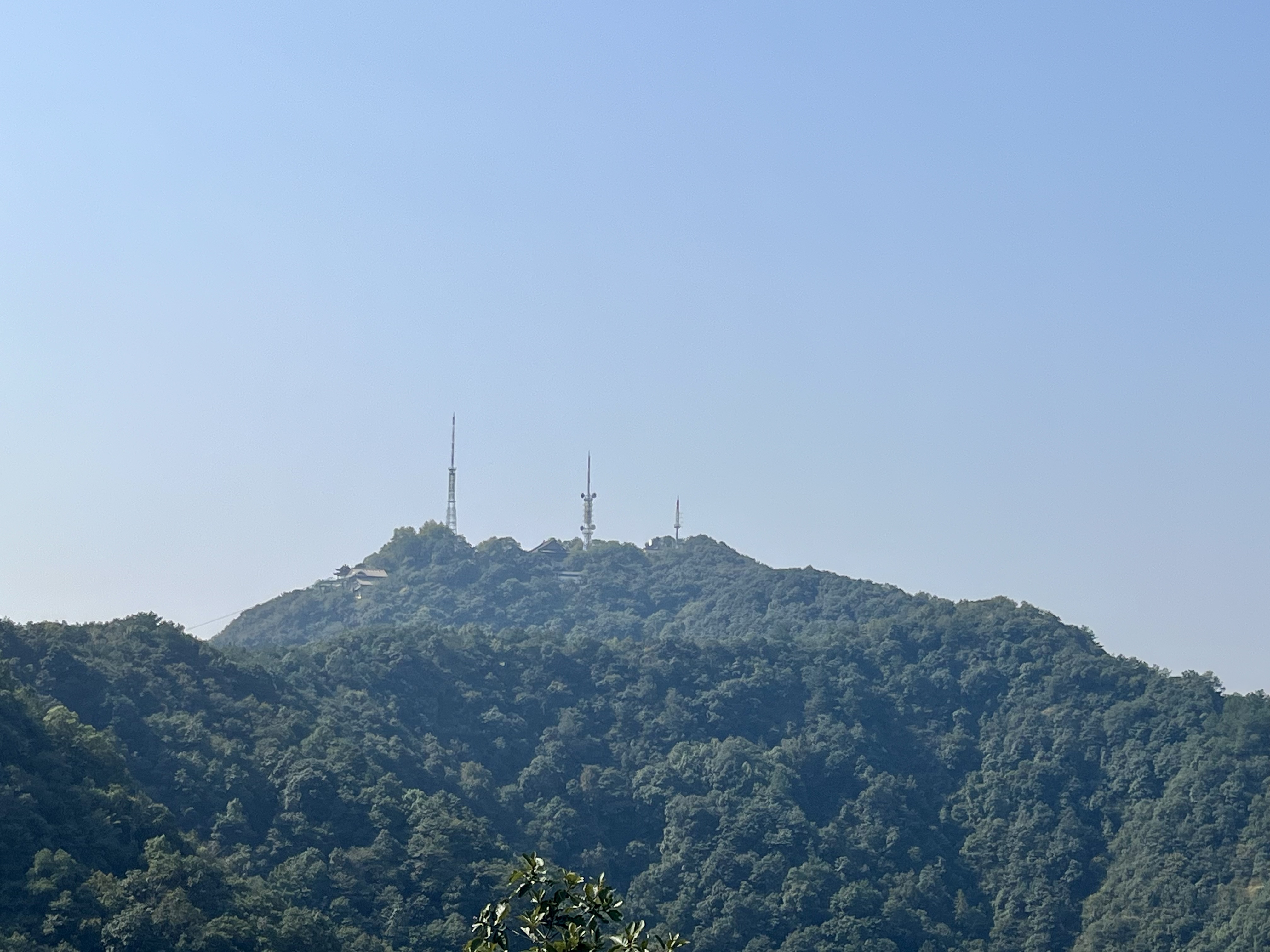
Buses: Reaching the Trailhead
For hikes that start in villages or hillside areas not directly served by metro, local buses fill the gap. Key routes serve Longjing Village, Lingyin Temple, and the hills south of the city.
Bus stops display route maps (sometimes with English) and digital arrival boards. You can tap your phone at the reader near the driver or scan a QR code. Cash is also accepted but having a mobile payment option is more convenient.
A useful strategy: take the metro as far as possible, then transfer to a bus for the last segment. This works well for Longjing and Lingyin.
Taxis and Ride-Hailing
For groups, hikers with gear, or anyone who wants a direct ride to the trailhead, taxis and ride-hailing apps are a good option. The most widely used app in Hangzhou is DiDi (滴滴), which has an English-language interface.
A trip from central Hangzhou to Longjing Village or Lingyin Temple typically costs ¥25–45 and takes 20–30 minutes depending on traffic.
Pro tip: confirm your destination in Chinese before setting out. If using a taxi rather than DiDi, show the driver the Chinese name and address written clearly on your phone. The place names listed on each trail page are exactly what you need.
Chinese Place Names to Save Before You Go
This short list covers the most common trail-adjacent locations in Hangzhou. Save these on your phone for metro, bus, and taxi navigation:
龙井村 (Longjing Village) — Start of the Longjing to Nine Creeks hike 九溪 (Nine Creeks) — End of that same hike 灵隐寺 (Lingyin Temple) — Start of the Lingyin to North Peak hike 北高峰 (North Peak) — Summit of the Lingyin trail 宝石山 (Baoshi Mountain) — Start of the Baoshi Mountain walk 保俶塔 (Baochu Pagoda) — Landmark on the Baoshi Mountain route 西湖北山路 (Beishan Road, West Lake) — Access road for Baoshi Mountain
Having these saved in a notes app or screenshot means you can pull them up quickly when you need to show a driver or check a bus stop sign.
Tips for a Smooth Day
A few practical points that make a difference:
Start early. Many trailheads are quieter in the morning, and you avoid the midday heat. This also gives you more flexibility for bus and metro connections.
Check your phone battery. Between navigation, translation, and payment, your phone does a lot. A portable power bank is a good investment.
Download offline maps. Google Maps works but is sometimes imprecise in China. Apple Maps (with Amap data) and Amap (高德地图) itself are more reliable. Download the area before you go.
Be patient with connections. Public transport in Hangzhou is excellent but sometimes requires a transfer or a short wait. Factor in a little extra time and treat the journey as part of the experience.