The Biggest Risk: Slippery Stone
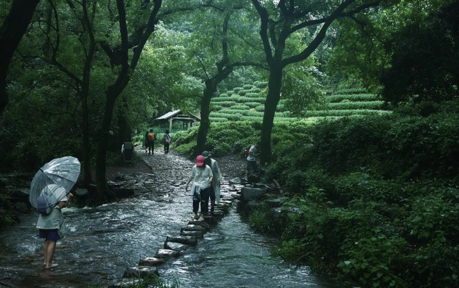
Wet granite flagstones are genuinely dangerous. After rain — or even morning dew on a humid day — these smooth stone paths become slick enough that a normal walking pace can result in a fall. The problem is worst in spring (March–April rain) and winter (persistent damp), but it can happen year-round.
The solution is simple: wear shoes with good grip (trail runners with Vibram or similar soles) and take shorter, flatter-footed steps on wet stone. Trekking poles help significantly on the steeper sections. The stone surfaces themselves are not damaged or uneven — they are just slippery.
This is not a reason to avoid hiking in wet weather. It is a reason to be appropriately shod and to adjust your pace.
Summer Heat
Trail temperatures in exposed sections can be 5–8°C higher than the city forecast. The Lingyin to North Peak climb, especially the upper ridge section, has no shade. On a 35°C day in the city, the trail surface can reach 40°C.
Heat exhaustion is a real risk on moderate-difficulty hikes in July and August. Symptoms to watch for: headache, dizziness, nausea, stopping sweating while still feeling hot. Start hiking before 7am in summer. Drink at least 1 litre of water per hour of active hiking. Bring electrolytes or salty snacks.
If you feel overheated, stop in shade, drink water, and pour water on your wrists and neck. Do not push through heat symptoms.
Mosquitoes & Insects
Mosquitoes are present in forested sections from May through September. The Nine Creeks valley and the lower forest sections of the Lingyin trail are the worst areas. Repellent containing DEET or picaridin is essential — the local mosquito repellent brands (available at any convenience store) also work well.
Mosquitoes in Hangzhou do not carry serious diseases (no malaria, no dengue risk in the city). The bites are irritating and can become infected if scratched. Treat with standard antihistamine cream.
Ticks are present in long grass but uncommon on maintained trails. Check your legs after walking through overgrown sections.
Dogs
Most dogs on Hangzhou trails are with their owners and will ignore you. In tea village areas (Longjing, Meijiawu), some stray dogs roam freely. They are generally not aggressive but may bark at strangers.
If a dog approaches and you feel unsure: do not make eye contact, do not run, and walk past at a steady pace. Dogs that are guarding a property (usually near farmhouses) will stop barking once you are past. Incidents are very rare.
The stray dog situation is less of a concern than in many other Chinese cities. Most trail dogs are well-fed family pets.
Phone Signal
4G and 5G coverage is reliable on most trails. The main dead zones are: the upper ridge section of Lingyin to North Peak (behind the summit, signal drops for about 200 meters), and the deeper tea fields beyond Longjing Village toward the Nine Creeks ridge.
Download offline maps in Amap or a similar app before heading into these areas. The offline map still shows your GPS location even without data signal — you will see the blue dot moving on a pre-downloaded map.
Carry a power bank. A 3-hour hike with GPS and Amap running consumes about 30–40% of a typical phone battery.
What NOT to Worry About
Hangzhou's trails are urban-adjacent hill walks, not wilderness backcountry. The following concerns apply to hiking in many parts of the world but do not apply here:
No bears or large mammals — the hills around Hangzhou have no dangerous wildlife.
No cliff edges — trails are well-bounded and there are no sheer drop-offs.
No venomous snakes — some non-venomous snakes exist in the tea fields but are rarely seen and flee from people.
No dangerous river crossings — stream crossings are shallow, rock-hopping sections.
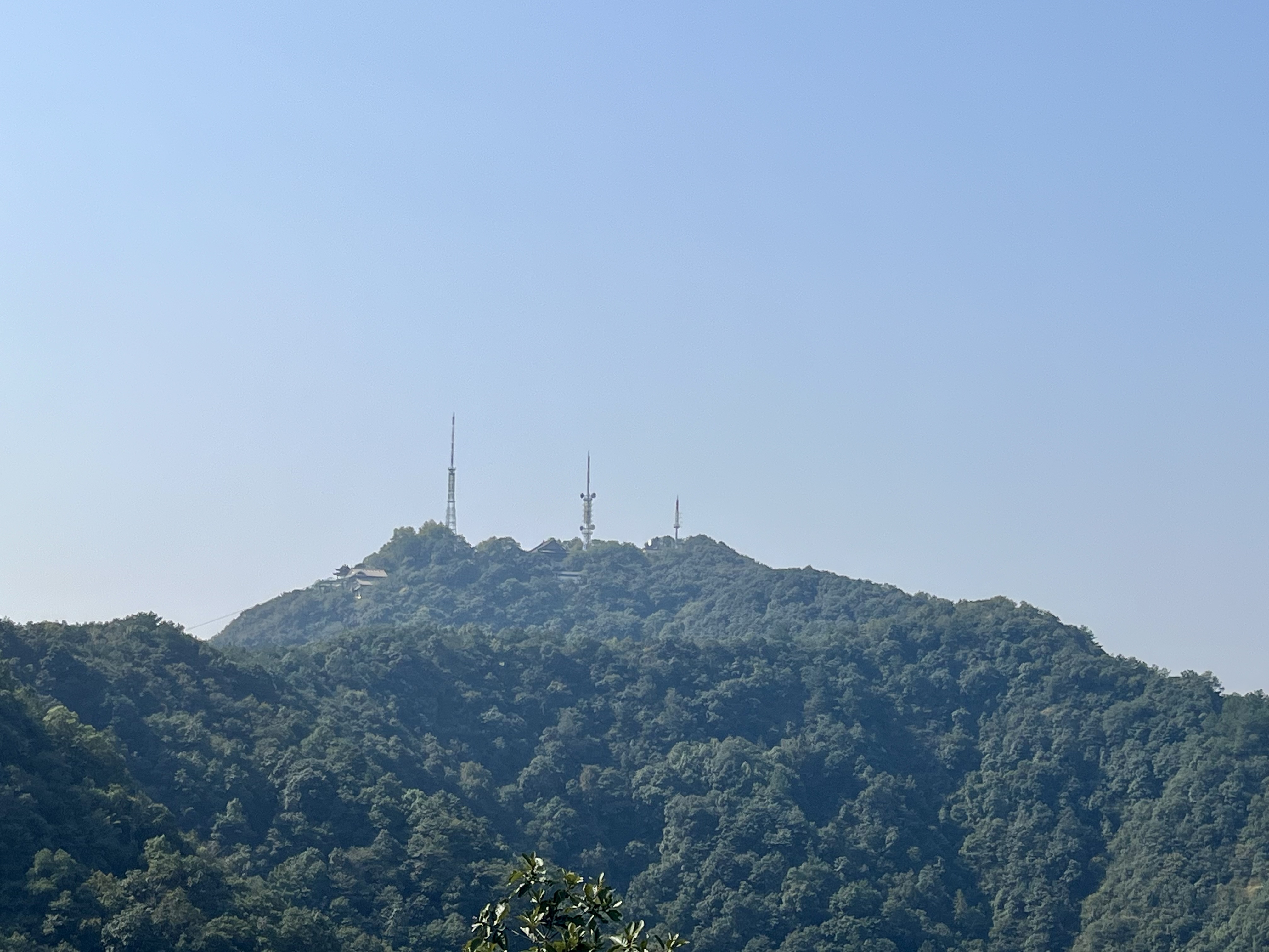
No altitude concerns — the highest point (North Peak) is under 400 meters.
This is not wilderness hiking. The main risks are mundane: slipping, overheating, and getting mildly lost.
Emergency Numbers
120 — Ambulance (medical emergency) 110 — Police (accident, theft, lost person)
English-speaking dispatchers are limited but the emergency services can triangulate your phone's location. If you call from a mobile phone, the system automatically identifies your approximate position.
To give your location to a rescuer or taxi driver, read the Chinese name of your trail area from this site's guide pages. Save these before heading out: 龙井村 (Longjing), 灵隐寺 (Lingyin), 北高峰 (North Peak), 九溪 (Nine Creeks).
For non-emergency needs — lost, delayed, minor issues — Amap's real-time location sharing is more useful than calling emergency services. Share your location with your accommodation or a friend.